Aerogrone®
Elevating Agriculture
With Aerospace
We connect aerospace with agriculture to help build a climate-resilient agricultural value chain.
AeroGrone® provides customized solutions to farmers, agribusinesses and government agencies to manage and optimize their farm operations thereby cutting costs and maximizing the land’s economic production.

0

0
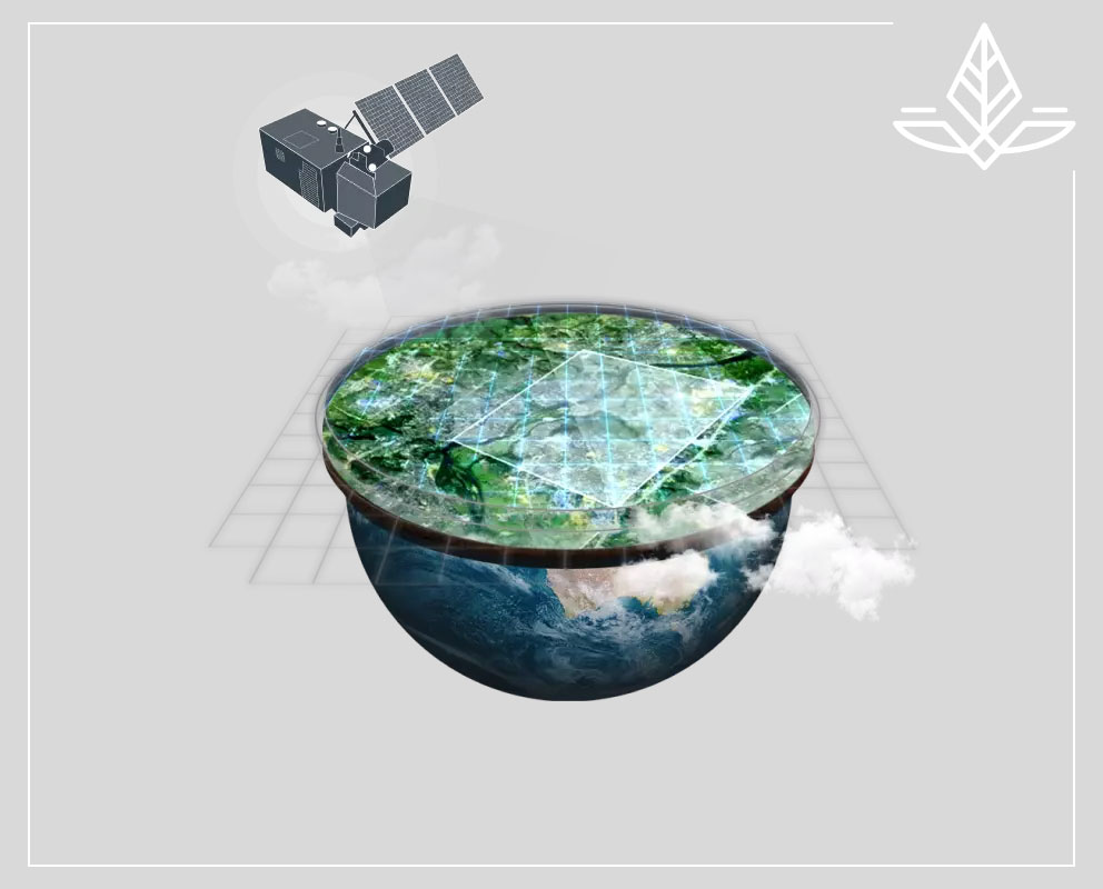
SATELLITE-ENABLED ANALYTICS
We use high-frequency satellite imagery and other data from space to monitor crop development and manage agricultural operations, including retrospective analysis and condition assessment.

Drone Technology
We employ drones to capture high-resolution images of fields for small-scale farming operations to provide detailed information on different agricultural factors, including fertilizing crops with precision.